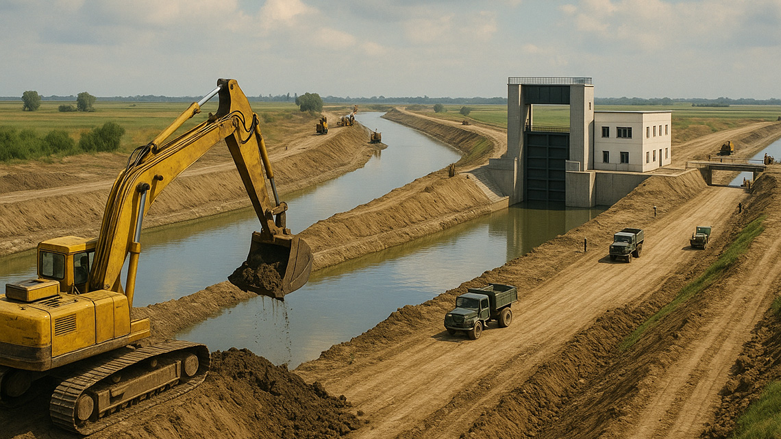
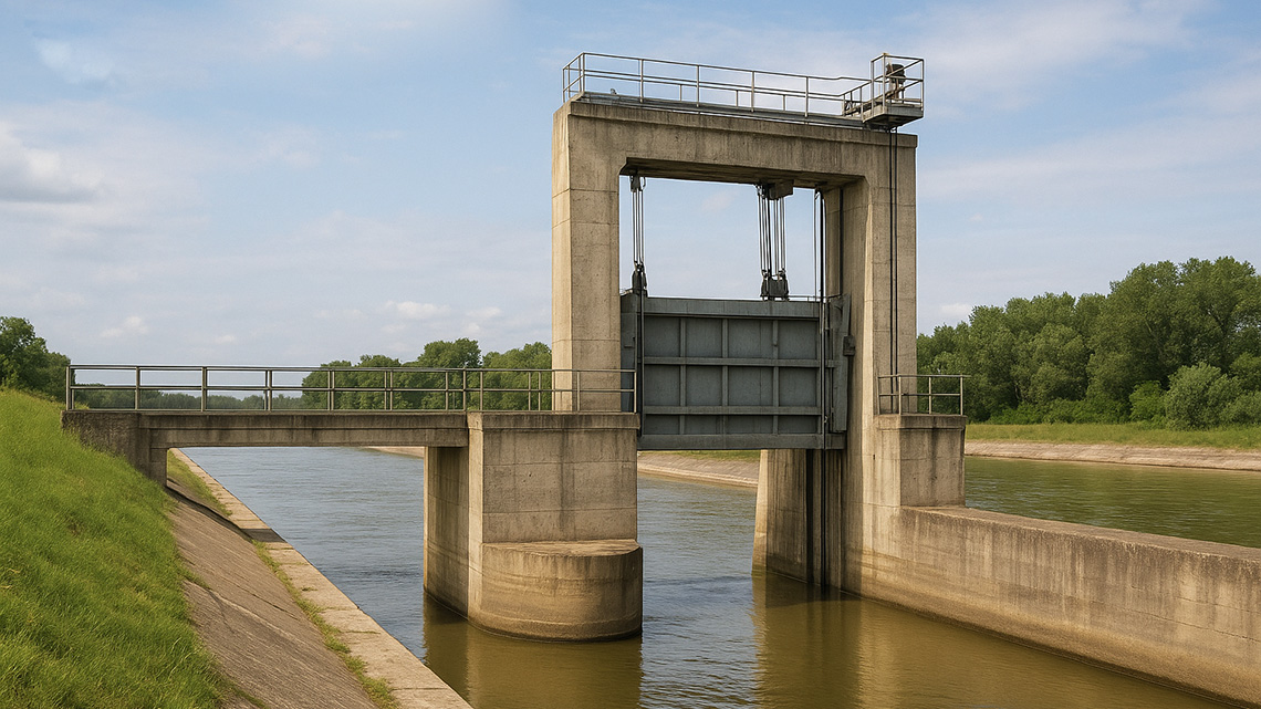
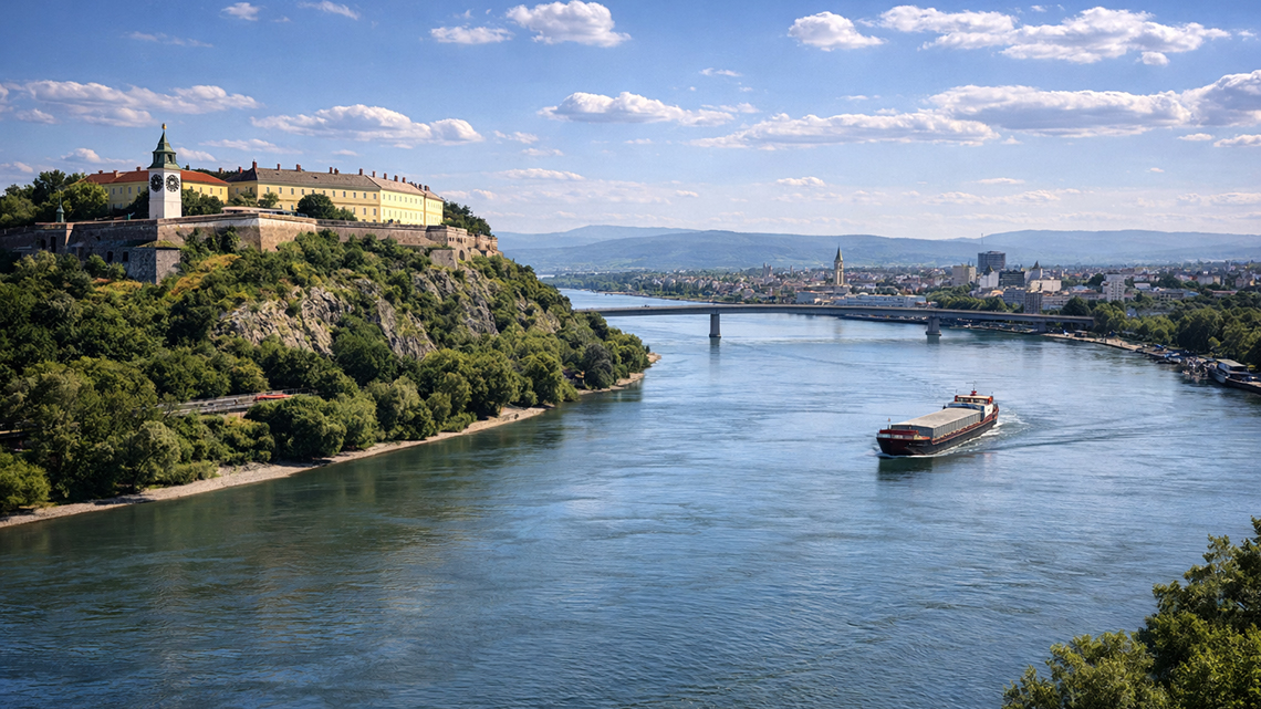
The development of water management in Vojvodina, Banat, and our Novi Bečej region is presented in the following exposition as a report, or more precisely, a story about water and what people have created by living and working on and around water over the past 150 years.
In the 'Water Management in Vojvodina' category, explore the history of water management development in Banat and Vojvodina, including key projects, technological innovations, and challenges in river regulation, from Ottoman rule to modern drainage and irrigation systems.
In geographical terms, Banat is a region in the southern part of the vast Pannonian Plain, bordered by the rivers Mureș, Tisza, Danube, and the Transylvanian Alps. A large portion of Banat lies in Romania, a small part in Hungary, while the Yugoslavian section is located along the lower courses of the mentioned rivers.
The inhabitants of the Pannonian Plain have always been closely tied to water: the more water, the greater the troubles it brings. Relentlessly, they waged an exhausting battle against water, which brought both benefits and immense hardships. This eternal human desire to tame the destructive force of water is evident in the traces of ruined dikes and canals along rivers and streams, as well as in the settlements that sought refuge at higher altitudes.
In addition to the construction of the first embankments in the 18th century, the issue of navigation on the Tisza River, specifically its regulation, also arises.
In the first half of the 19th century, the regulation of the Tisza River becomes increasingly relevant for economic reasons, leading to the commencement of the first regular hydrological observations and surveys of its riverbed.
The Tisa is a major international river and the largest tributary of the Danube, flowing through four countries. Its total length is 966 km, with 164 km passing through Serbia. The river originates in the Carpathians at an altitude of 1,800 meters, but after 266 km of its upper course, near the mouth of the Samoš, it descends to just above 200 meters, gradually sloping to its confluence with the Danube.
A) Period from 1845 to 1945
In the area of today's municipality of Novi Bečej, several water cooperatives existed, starting from 1845, which were either dissolved or reorganized into different forms by 1945:
- Upper Banat Potiska Water Cooperative (1845-1945),
- Bočar-Iđoš Water Cooperative (1886-1945),
- Galad Water Cooperative (1891-1945),
- Novi Bečej Water Cooperative (1858-1945).
Between 1945 and 1963, two Water Management Organizations covered the area of the municipality: the Upper Banat Water Organization, with its headquarters in Kikinda, north of Novi Bečej, and the Tisa Water Organization, based in Zrenjanin, south of Novi Bečej. Thus, two water communities existed:
- Upper Banat Water Community (1945-1963)
- Tisa Water Community (1945-1963)
Until 1978, there was only one water management organization operating in this region — the Water Management Organization "Gornji Banat," headquartered in Kikinda. After 1978, a new organization was established: the Water Management Organization "Basic Canal Network" (OKM), based in Novi Sad.
As previously highlighted, the demand for a unified approach to solving water management issues in the Danube-Tisa-Danube Hydrosystem led, on January 1, 1963, to the incorporation of water associations from the Banat and Bačka regions into the Directorate for the Construction of the Danube-Tisa-Danube Hydrosystem in Novi Sad.
In the early 1960s, canal excavation works began in this area, followed by the construction of significant water management structures. The completion of the dam on the Tisa River in 1977 marked the final phase of these activities. All completed infrastructure was taken over by the Water Management Organization "Gornji Banat," and as the systems gradually became operational, dedicated operational sections were established.
Drainage enables the reception of all excess water from the catchment area—either by gravity (free fall) or artificially using pumps—and evacuates it further into the main receivers: the Tisa and the Danube rivers.
After drainage, water supply has taken the most significant place. Future water consumption from the Basic Canal Network (OKM) and the spatial distribution of water demand have been considered. The characteristics of the OKM's water intake points on the Danube and Tisa Rivers have been studied, with attention to technical reliability and cost-effectiveness of water supply.
The total length of navigable canals currently amounts to:
- in Banat: 309 km
- in Bačka: 355 km
The development of fisheries along the Main Canal Network (OKM) is observed through:
- the use of canal water for recreational and commercial fishing, and
- the supply of fishponds with water along the OKM.
The discharge of used – polluted – water from settlements and industry remains the most pressing unresolved issue within the Danube–Tisza–Danube (DTD) Hydrosystem and its primary canal network.
Flood protection, or the management of external waters, is achieved by improving the defense conditions on the watercourses that cross the state border, specifically those coming from Romania. These watercourses include the Zlatica, Begej, Tamiš, and others, which have embankments built along them and, before the construction of the Main Canals, faced serious problems with flood defense.
In the northern Banat region, which includes the municipality of Novi Bečej, an organizational unit has existed since 1973 under the Water Management Organization “Gornji Banat” in Kikinda, addressing issues related to the Core Canal Network (CCN).
Between 1947 and 1957, research, geodetic surveys, studies, and conceptual designs were carried out.
From 1957 to 1977, main designs were developed and the basic canal network was constructed. The works were carried out under variable conditions, and the difficulties encountered caused delays and slowed down construction.
As a part of the Banatska Palanka – Novi Bečej canal system, the section from the confluence of the Kikinda Canal to the Tisa River near Novi Bečej serves to convey significant volumes of water for the supply of the Banat region and to discharge excess water into the Tisa during periods of high water levels, when river conditions allow.
The Kikinda Canal stretches from its confluence with the Main Canal to its junction with the Zlatica River near Sajan, with a total length of 50.34 km. Its primary function is to collect the Zlatica’s internal waters during periods when the sluice gate at Padej is closed, as well as its own internal waters along the route, and discharge them into the Main Canal.
The Tisa River Dam near Novi Bečej is the largest facility of the Danube–Tisa–Danube Hydrosystem. Its primary function is to release water by gravity into the main canal network of Banat, enabling the irrigation of vast agricultural areas and supplying water to other users. In this way, the released water can be used for multiple purposes simultaneously.
